When university student Jenna Taylor was forced to evacuate her home in Canada amid a devastating wildfire outbreak in late May, she made the most of the situation by creating a wildfire map to help communities track their spread.
As The Winnipeg Sun reported, Taylor is a geography student at the University of British Columbia's Okanagan campus, and the cartography and map-making classes she takes as part of her degree provided her with the necessary tools to build an interactive wildfire tracking website.
After the Canadian government issued a state of emergency for Manitoba, where her family lives, they, along with thousands of other residents, fled their homes as the fires crept dangerously close. It was an anxiety-inducing situation, but Taylor realized her knowledge of geography could come in handy and potentially save lives.
She gathered data on the fires from NASA databases and Canadian government sites to create the wildfire map, which "includes time-lapse visualizations of the fires, as well as wind and air-quality forecasts," per the Sun. Additionally, it lists nonprofits and volunteer organizations where the public can donate to those affected by the fires.
The newspaper reported that, as of June, the wildfires displaced over 17,000 people, including 5,000 in Taylor's hometown of Flin Flon. Just 13 miles southwest in Denare Beach, Saskatchewan — one of the most affected areas — 200 people lost their homes.
According to the Winnipeg Free Press, the 2025 wildfire season in Canada is expected to be the second-worst on record. Experts attribute the rapid spread of fires over the last few weeks to higher-than-average temperatures and dry conditions.
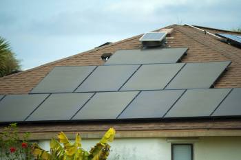
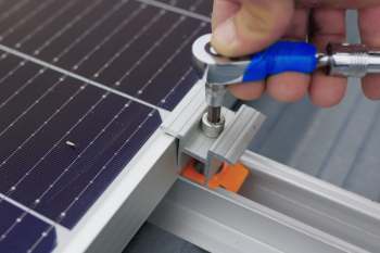
Save $10,000 on solar panels without even sharing your phone number Want to go solar but not sure who to trust? EnergySage has your back with free and transparent quotes from fully vetted providers that can help you save as much as $10k on installation. To get started, just answer a few questions about your home — no phone number required. Within a day or two, EnergySage will email you the best local options for your needs, and their expert advisers can help you compare quotes and pick a winner. |

Wildfires have burned nearly 10 million acres of land so far, and the risk of further fire outbreaks is high due to a warmer-than-usual summer and the expectation of little rainfall, according to the CBC.
Rising global temperatures, resulting from the burning of dirty fuels such as oil and gas, are contributing to more extreme weather events, including wildfires, worldwide.
For example, in 2023, Canada experienced its most destructive wildfire season on record, with more than 40 million acres burned — nearly seven times the historical average, according to the Canadian Climate Institute.
A study by World Weather Attribution found that the changing climate increased the likelihood of extreme fire conditions in Eastern Canada during the 2023 season, and made the cumulative severity 50% more intense.
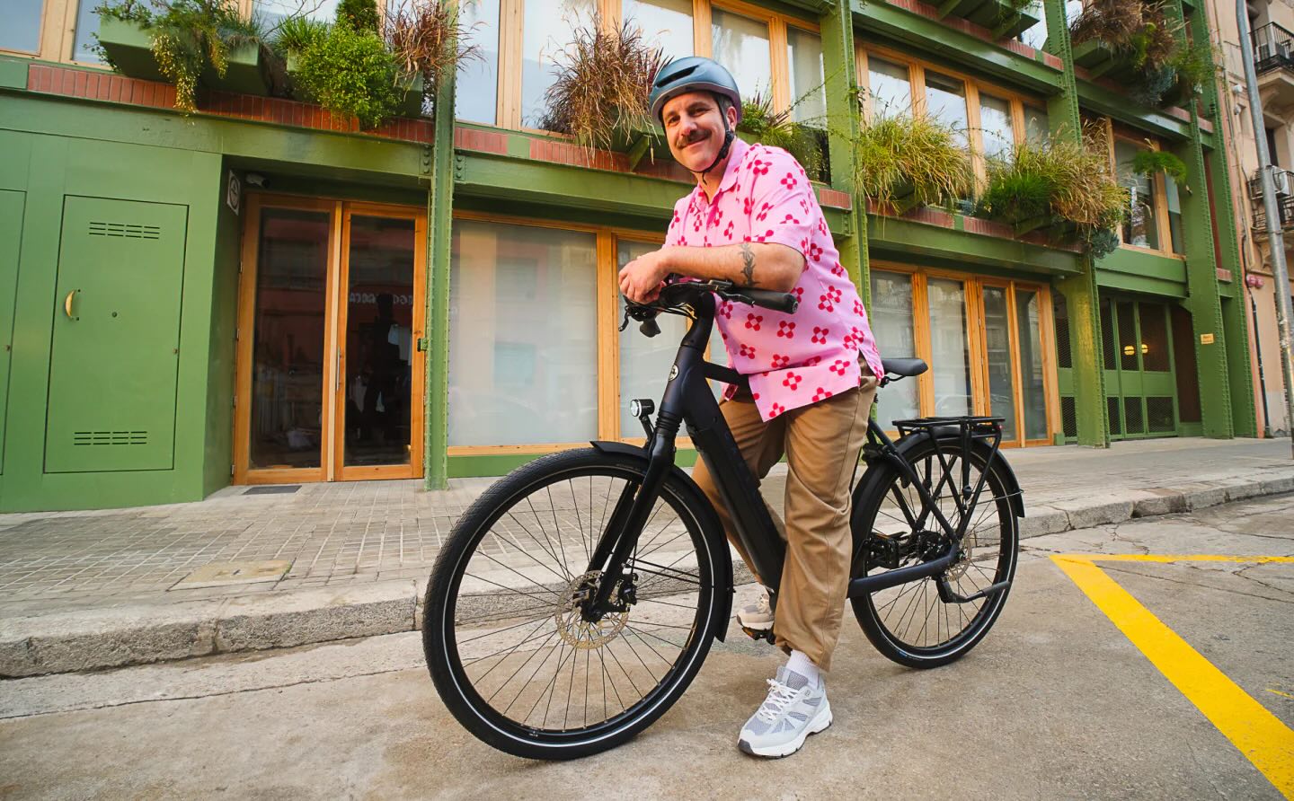
TCD Picks » Upway Spotlight
💡Upway makes it easy to find discounts of up to 60% on premium e-bike brands


|
Do you worry about air pollution in your town? Click your choice to see results and speak your mind. |
However, armed with real-time wildfire maps like the one Taylor created, the public can stay informed about fires spreading near their communities and know when to evacuate.
Wildfire detection systems and maps like these can save lives, especially in high-risk areas. Even though Taylor was happy to serve her community, and hopes she'll find more opportunities to help after earning her degree, it was bittersweet considering the circumstances.
"In a way, it's hard because I wish I didn't have to make this project," she told the newspaper.
"The reality of it is that I'm in this situation, and I guess I did the best work I could for the position that we're all in."

Join our free newsletter for good news and useful tips, and don't miss this cool list of easy ways to help yourself while helping the planet.