Wildfires' towering flames devastate areas like a living Godzilla does to cities. But while the fire holds our attention, it's what happens after the smoke clears that tells the whole story.
When wildfires scorch forests, they erase more than trees: They wipe out natural buffers that clean our air and water. Rebuilding isn't just about planting new trees — it's about knowing where to invest resources and efforts. That's where satellites step in.
Phys.org reported that researchers from the National Center for Atmospheric Research leveraged NASA's Terra and Aqua satellite data alongside U.S. Geological Survey land‑protection maps to see which areas rebound — and which lag behind after fires.
Their cross‑reference showed protected forests reach about 37% regrowth after five years, compared to just 27% in unprotected zones. Unprotected areas also burned up to 47% more severely, making recovery harder from the start.
"We've developed a simple framework that could give fire and land managers the ability to easily see what efforts make a difference," said Shima Shams, the researchers' lead author. She also called it "a quick, cost‑effective way to help managers know where to focus funds to get the maximum benefit." As Shams noted, this gives "a way to look at the big picture" — not a guess, but clear data in hand.
To gather data, the team looked at Northern California through Southern Oregon — an area with varied land protections and frequent fires. They used Moderate Resolution Imaging Spectroradiometer sensors on Terra and Aqua to find burn scars, then Landsat imagery from five years later to track green regrowth. Silver firs and other evergreens showed the biggest bounce under protected management.
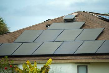
Save $10,000 on solar panels without even sharing your phone number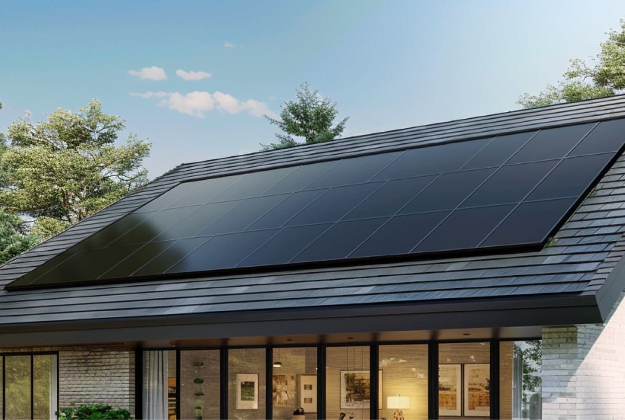 Want to go solar but not sure who to trust? EnergySage has your back with free and transparent quotes from fully vetted providers that can help you save as much as $10k on installation. To get started, just answer a few questions about your home — no phone number required. Within a day or two, EnergySage will email you the best local options for your needs, and their expert advisers can help you compare quotes and pick a winner. |

And the difference isn't just about trees — it affects real people. Forests play a significant role in maintaining water quality, providing clean air, and even helping nearby towns stay cooler during heat waves. When that natural protection disappears, everyone nearby feels it.
Satellites can't tell whether new growth includes invasive weeds, but managers still get robust clues without setting foot on the ground. As Shams put it, "Remote sensing is an efficient way to look at the big picture and showcase the efficiency of applied practices."
This method offers a fresh way to watch healing forests — and make sure they heal stronger.
|
Do you worry about air pollution in your town? Click your choice to see results and speak your mind. |

Join our free newsletter for good news and useful tips, and don't miss this cool list of easy ways to help yourself while helping the planet.
TCD Picks » Upway Spotlight
💡Upway makes it easy to find discounts of up to 60% on premium e-bike brands