Researchers and fishpond practitioners are using drones to help restore Native Hawaiian fishponds along the coastline.
According to the University of Hawaiʻi News, scientists at the university and the fishpond practitioners, also called kiaʻi loko, use drones to map the ponds and better understand timing, flood-prone areas, and rising sea levels.
The research showed that by 2060, tide levels along the Keaukaha coastline would be, on average, the same as extreme tidal events. They would resemble the King Tides that Hawaiʻi experienced in the summer of 2023.
According to the National Oceanic and Atmospheric Administration, while King Tide is not a scientific term, it is most commonly used to describe extreme tide events.
Gravitational forces from the moon and sun cause tides. Higher-than-normal tides happen when the moon is closest to the Earth, a new moon, a full moon, or during particular seasons.
Kainalu Steward, lead author and Earth sciences doctoral student in the UH Mānoa School of Ocean and Earth Science and Technology, said: "We discovered that drones are effective and cost-efficient tools for mapping loko iʻa at the community level."
Save $10,000 on solar panels without even sharing your phone number Want to go solar but not sure who to trust? EnergySage has your back with free and transparent quotes from fully vetted providers that can help you save as much as $10k on installation. To get started, just answer a few questions about your home — no phone number required. Within a day or two, EnergySage will email you the best local options for your needs, and their expert advisers can help you compare quotes and pick a winner. |

Master's student Brianna Ninomoto is using the impact of the King Tides to determine how future sea-level rises will affect the fishponds.
The drones collect real-time data during extreme events, and the researchers use sensors in the water. They compare drone topography models and "Light Detection and Ranging [lidar]-derived models."
The drones "accurately estimated observed flooding during extreme high tide events," according to the University of Hawaiʻi News, whereas the lidar models overestimated them two to five times. While lidar wasn't as accurate, the researchers found those areas flooded during severe weather events, making it an essential tool for forecasting and mapping.
Sea-level rise threatens these culturally important fishponds that provide seafood for the community, so this work is crucial for local communities.
TCD Picks » Upway Spotlight
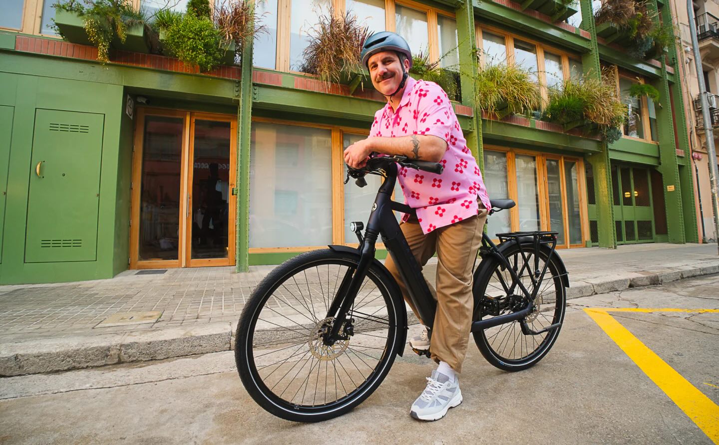
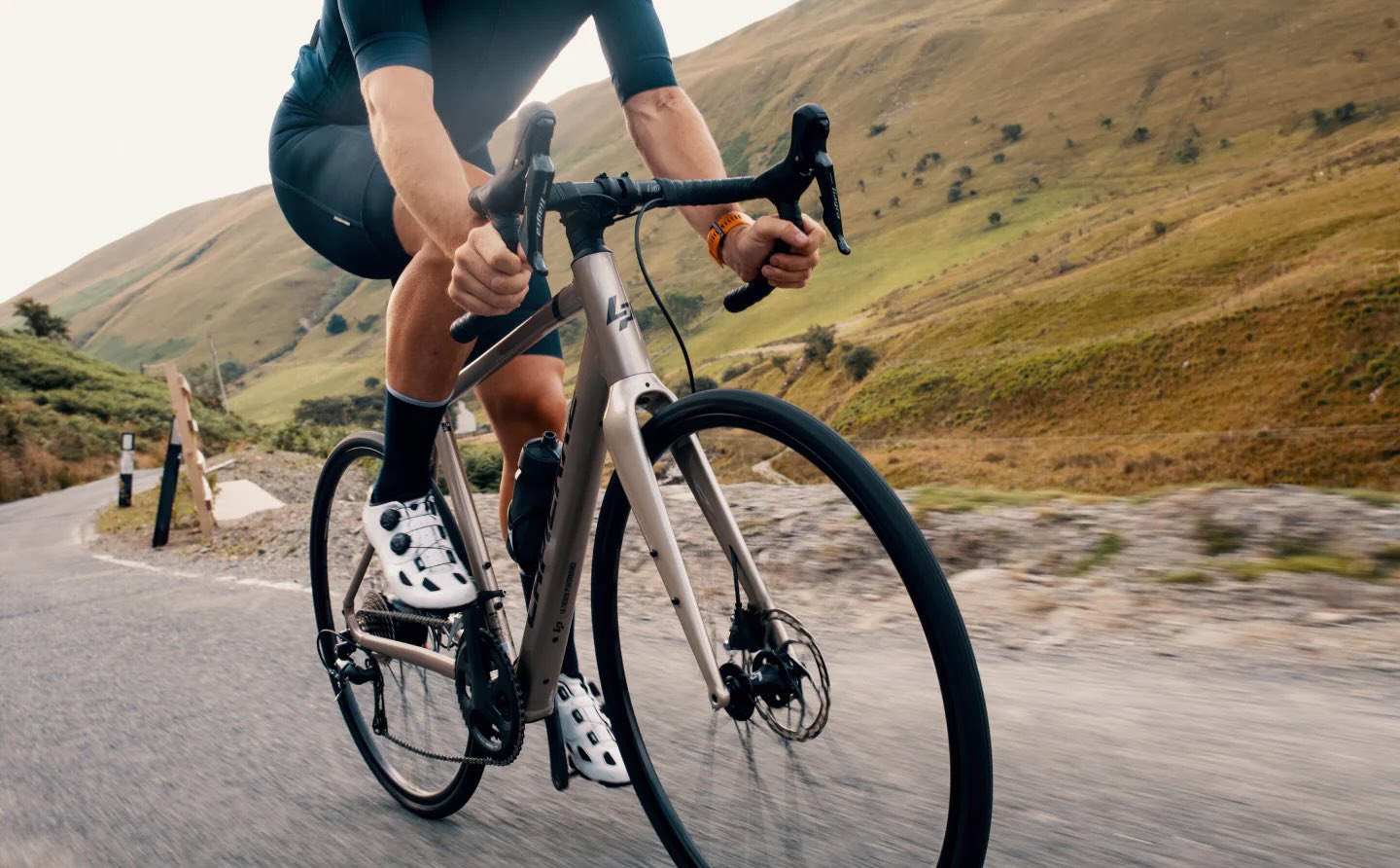
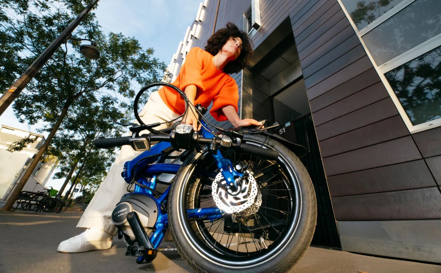
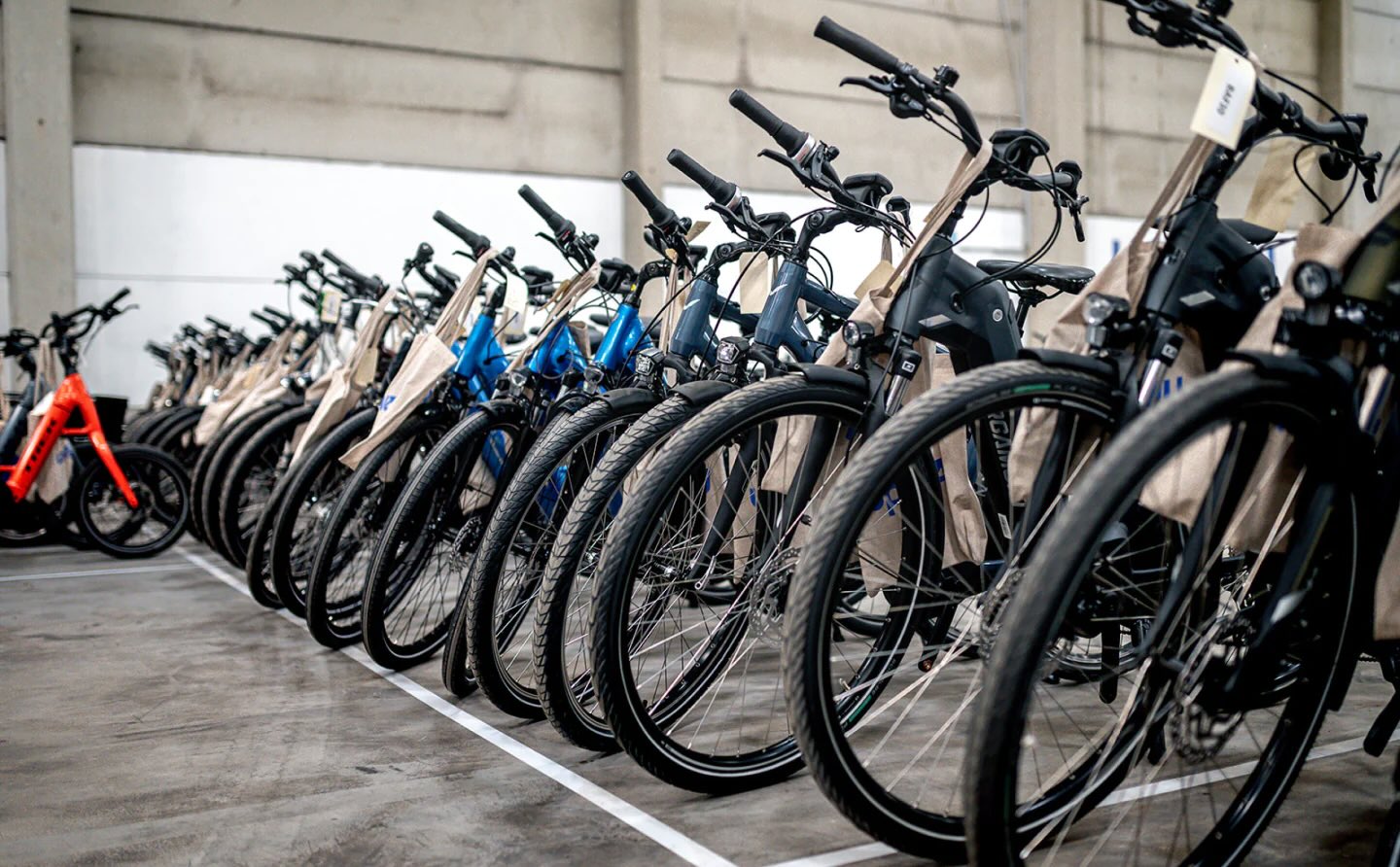
💡Upway makes it easy to find discounts of up to 60% on premium e-bike brands

"This research is important for enhancing coastal community adaptation, resilience, and food security in the face of climate change," said Ninomoto.
Other organizations use other tools to help predict and prepare for rising sea levels, such as Climate Central, which uses a coastal risk screening tool to show risk areas over the coming decades.
Funding for these projects is crucial for the work they are doing. You can donate to climate causes to help them do meaningful research and restoration work.

Join our free newsletter for weekly updates on the latest innovations improving our lives and shaping our future, and don't miss this cool list of easy ways to help yourself while helping the planet.